
The earthen feature known as the Mucklaghs are one of the only monument types within the complex of Rathcroghan that has no evidence of settlement or habitation. For this reason the Mucklaghs are an entirely different phenomenon visible above ground at Rathcroghan. The name given to this site originates from the Irish for pig, muc, first recorded by Knox in 1914. The monument is located to the south of the complex, lying between Cashelmanannan and Oweynagat which in itself is significant. It is possible that there was very deliberate interaction between the three monuments during their period of use, suggested to be the Early medieval period by Waddell et al (2009).
 |
| Mucklaghs from the air with Caldra pool seen at the centre of the picture. (Image courtesy of G. Bracken) |
 |
| Northern Mucklagh from the ground. |
The presence of the Mucklaghs entertains the very plausible theory that major ceremonial activities would have focussed on this section of the complex. A potential procession suggested to begin at Cashelmanannan, continuing through the Mucklaghs to Oweynagat. Such processional earthworks which connect two monuments that share folkloric associations, centring on a sacred animal in Iron Age Irish belief practices such as the pig or wild boar, could solidify this theory further. The use of the cave as a place of warrior testing, initiation or rites of passage also ties into the wider framework of this collection of sites. The use of the the southerly Mucklagh may be furthered in its hypothetical function as a ritual procession, baring from the spiritually significant Oweynagat cave and on to Caldra pool. It could be presumed that this earthern bank was intended for sacred purposes and perhaps votive offerings at the pool.
 |
| 3D LiDAR model of the Mucklaghs (OSi & Kevin Barton) |
 |
| Replica of the Iron Age Deskford carnyx, Scotland, depicting the head of a wild boar. |
Comparable evidence to this type of linear earthworks can be seen with the so-called Banqueting Hall or Tech Midchuarta on the Hill of Tara, Co. Meath. Another more local example, comes from Black Pig's Dyke, however, its purpose seems to have been more practical and martial than ceremonial. In respects to this information it is clear to see how the Mucklaghs have provided a unique and prominent example on the complex of where people have potentially sought to explicitly link two monuments. Daniel Curley.

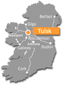
The Mucklaghs can be seen between Cashelmanannan and Oweynagat in the south-west of this map.
- Waddell, J., Fenwick, J., & Barton, K., Rathcroghan: Archaeological and geophysical survey in a ritual landscape, (Wordwell, 2009)

No comments:
Post a Comment